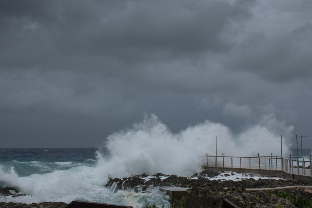
The storm continues moving north, but the eye of Tropical Storm Eta continues to erode (good news!).
The storm is moving faster than expected, and is now estimated to make landfall around 2 a.m. Thursday as a weakened tropical storm. Gainesville and Alachua County are currently under a tropical storm warning with the potential for tropical storm-force winds in our area.
Once over land, the storm should degrade even faster with maximum winds of about 40 mph by the time it exits Florida on the east coast. With the increased speed of the storm, rain forecasts have decreased slightly. Please be reminded that this is a large storm with isolated thunderstorms within the bands, and we could still have strong wind gusts and rainfalls that could still overload the stormwater system.
Please do not walk or drive through standing water. We remind our neighbors to continue to be vigilant in preparation and planning, as storms can change quickly.
Things to Note:
-
Public schools, UF and Santa Fe College are closed tomorrow.
-
There are no emergency shelter openings are planned at this time.
-
The city has activated its Severe/Cold Night Weather shelter program for neighbors experiencing homelessness.
- The 311 rumor control phone number is active. Please use it to verify the most up to the minute information on Tropical Storm Eta. For life-threatening emergencies, call 911. For emergencies that are not life-threatening, call 352-955-1818.
-
Tomorrow’s trash collection, yard clippings, and recycling have been delayed, and will resume Friday. Collection Centers, the Household Hazardous Waste Center and the Transfer Station are also closed tomorrow.
- If you live in a manufactured home or low-lying area, please make sure you have a contingency plan.
Local Impacts:
-
Gainesville has an 80% chance of seeing gusting tropical-storm force winds (>37 mph) starting about 2 a.m., Thursday, Nov. 12 through the morning and early afternoon.
-
The chances of seeing strong tropical storm-force winds has dropped, and sustained winds are not expected. Gusting is still possible.
- Rainfall is predicted to be 1-2 inches across the area, with up to 3 inches in localized areas over less than a 24-hour period
-
Some standing water or ponding is possible
- City of Gainesville, FL – Government
- GRU
- Gainesville Police Department
- Gainesville Fire Rescue
- Gainesville/Alachua County SmartTraffic
- City of Gainesville Public Works Department
- Regional Transit System
- Alachua County Emergency Management
- Alachua County
- Alachua County Public Schools
Suggested Articles
No related articles found.


