

Tropical Storm Fred may be heading toward the Florida Panhandle Monday evening, but its outer rain bands could still pose possible rain in the north central region.
According to the National Weather Service reports, Fred is forecast to continue pushing northward and inland across the western and central Florida panhandle tonight with heavy rainfall and gusty winds.
“We have to keep watching for those outer rain bands,” said David Peaton, Levy County Emergency Management assistant director. “The National Weather Service is still keeping a storm warning for our coast.”
North Central Florida continues to be overly saturated by rain over the past few weeks—including Tropical Storm Elsa hitting the area on June 7—and Peaton said people along rivers still need to be diligent.
“Areas along the Suwannee River really need to pay attention even though rain was not a problem (from Fred) now, we could still get higher water in the next few days,” he said.
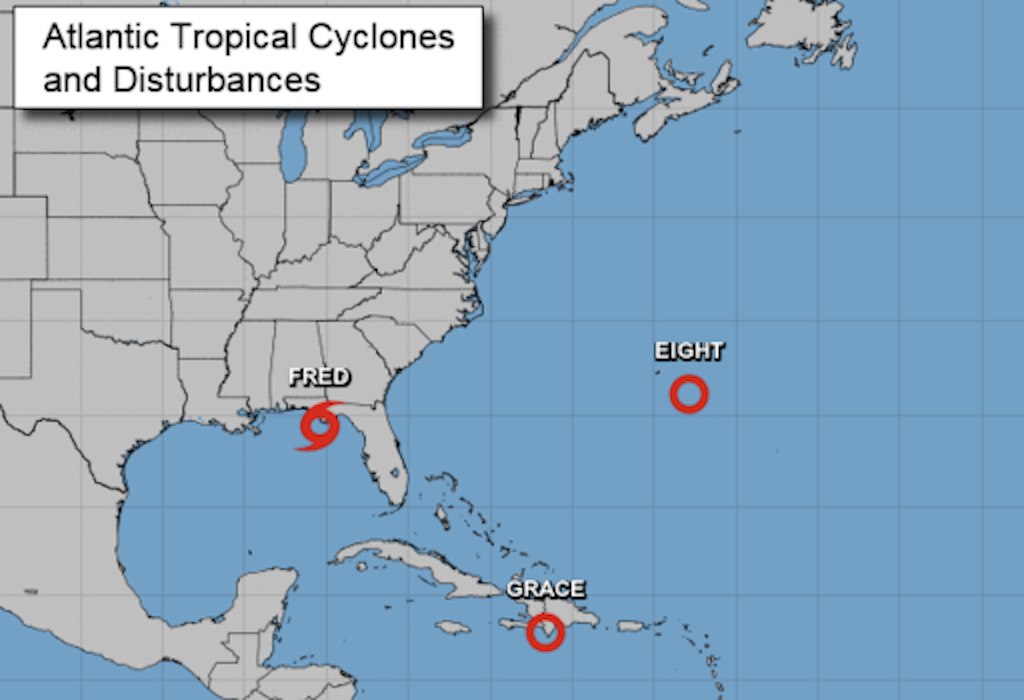
Two more weather disturbances are forming that include Tropical Depression Grace, located over the southern coast of Hispaniola, and Tropical Depression Eight, located 100 miles southeast of Bermuda.
“It looks like Grace is going to keep going West into the Gulf and hit the south part of Texas, and Eight is going to loop back into the Atlantic,” Peaton said.

Suggested Articles
No related articles found.