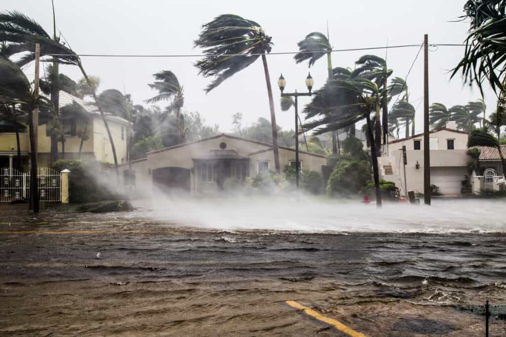
Peak hurricane season, typically between mid-August and late October, has taken an unexpected turn this year. The National Oceanic and Atmospheric Administration (NOAA) reports that this season’s activity is below the yearly average so far—a stark contrast to early summer forecasts that inferred record-breaking activity.
Earlier this year, researchers from Colorado State University released a bullish expectation for tropical activity in its yearly forecast, citing warm sea surface temperatures, the early shift of La Niña and reduced wind shear. Their forecast called for 23 named storms and 12 hurricanes this season, compared to the yearly average of 14.4 named storms and 7.2 hurricanes.
They were not alone in predicting a busy season: the NOAA predicted an 85% chance of an above-normal season and a 5% chance of a below-normal season.
Fast forward to the middle of peak hurricane season, when there have been only six named storms so far, and the 5% chance is now becoming a reality. Before Hurricane Francine became the fourth hurricane of the season on Sept. 10, there had not been a named storm since August 12 with Hurricane Ernesto, according to the NOAA.
The pause in tropical development has left experts to try to determine what factors led to its rare occurrence.
According to WCJB meteorologist Stuart Baker, experts “kind of jumped the gun” on this year’s hurricane forecast. He believes that the early shift of Pacific waters to La Niña and above-average sea surface temperatures led experts to think this hurricane season would be more active than usual.
After making the prediction, the formation of Category 5 Hurricane Beryl early in the summer led experts to double down on their forecasts. However, Baker believes forecasters did not plan on some major limiting factors of development.
“A lot of the tropical waves coming off the coast of Africa are coming off further north than they usually do,” Baker said. “This results in an influx of dry air from the Sahara Desert that can limit tropical development in the region.”
Baker also cites upwelling in African waters as another reason storms are having trouble developing, as the cold water makes it difficult for storms to strengthen. He does not believe this season can live up to its lofty forecasts, considering the current conditions.
“I think we’re more on track to be average,” he said.
Regardless of the season’s overall activity, UF geography professor Dr. Corene Matyas emphasized that it only takes one storm to alter the course of the season.
“It’s not always that we need more storms for them to be dangerous,” Matyas said. “We can have one storm, and it is a catastrophic storm, and that would be a bad year.”
Vigilance is still key, Baker said.
“Stay weather aware,” he said. “Make sure you have some weekly updates.”
When preparing for the storm, Baker said to stock up on ice, gas, flashlights and other supplies. He also recommended placing valuable items and documents in a dishwasher to keep them dry, because it is sealed off from water.
Even though hurricane season has not met expectations so far, Baker could not stress enough how important it is for students to be aware and alert regarding the tropics: “All it takes is one hurricane for people’s lives to be ruined.”
Suggested Articles
No related articles found.


This aged beautifully.